| Transportation
| The Land Between The Rivers transportation system is generally dominated by corridors that run north and south. These include interstate highways 57 and 64, along with US highways 51 and 45. The major north-south highways generally connect the region with Chicago to the north, and Memphis and New Orleans to the South. Interstate 64 very roughly defines the northern boundary of the region, linking St. Louis to Norfolk, Virginia. The rail lines also tend to run north-south as well, with service from four of the nation's seven Class I railroads--CN Rail (CN), Burlington Northern Santa Fe (BNSF), Norfolk Southern (NS), and the Union Pacific (UP)--as well as a number of smaller "short line" railroads.
The airports at Paducah, Kentucky and Cape Girardeau, Missouri provide area residents and visitors air travel to and from the Land Between The Rivers. Barkley Regional Airport in Paducah is less than an hour driving time from the region, and Cape Girardeau Regional Airport is less than half an hour. Cairo Municipal Airport offers small plane services and encourages recreational activities such as parachute jumping and other air sports.
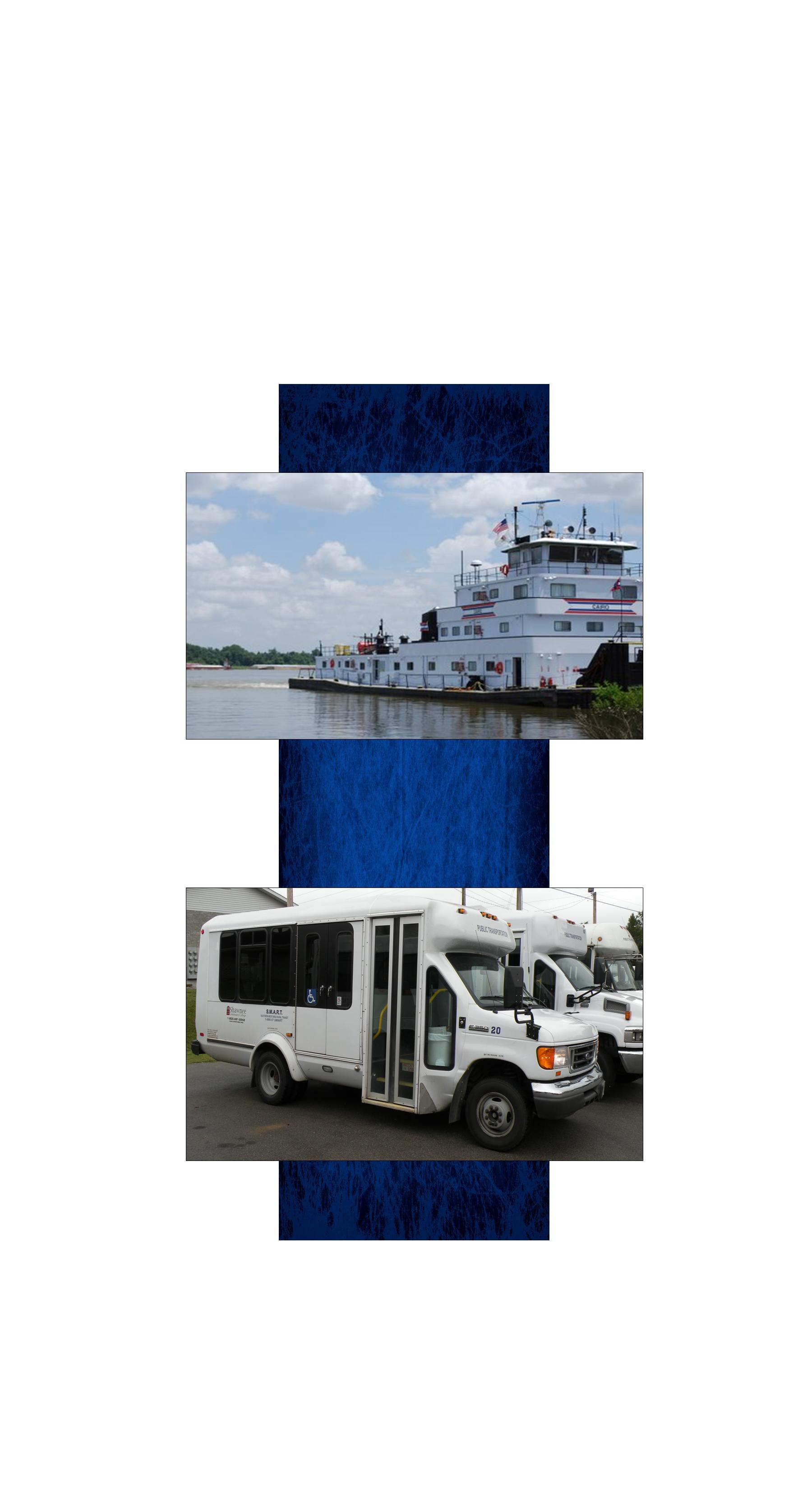
The Mississippi and Ohio Rivers define the western, southern and eastern boundaries of the region and are major components of the US inland waterway system. The inland waterway system is a network of rivers and locks linking inland points with coastal seaports. Land-based facilities along the waterway provide cargo-handling services.
Shawnee Mass Transit District (SMART) provides ground transportation with door-to-door and established route services. |
 |
|